
The Amazing Palouse - Photoblog
The Palouse region in eastern
Washington is renowned for its rolling farmlands and miles
of scenic byways. It is a remarkable destination for
photographers and visitors alike—especially in June, when
wheat and lentil fields transform the landscape into a
tapestry of vibrant green tones.
I have visited the region
several times, and this photoblog brings together a
selection of my favorite images from those trips.

1 - Rolling hills
1 at Sunset.

2 - Velvet Hills.

3 - Panoramic view from Steptoe Butte.

4 - Threatening clouds.

5 - Rolling hills
2 at Sunset.

6 - Canola
Field.

8 -
Road lined with wheat fields.

9 - Barn in the lentil field - No road
leads to the barn in
the growing season.
 10
- Highway
195 north. 10
- Highway
195 north.
 11 11

12 -
More velvety hills.

13

14 - One of the red barns in the area.
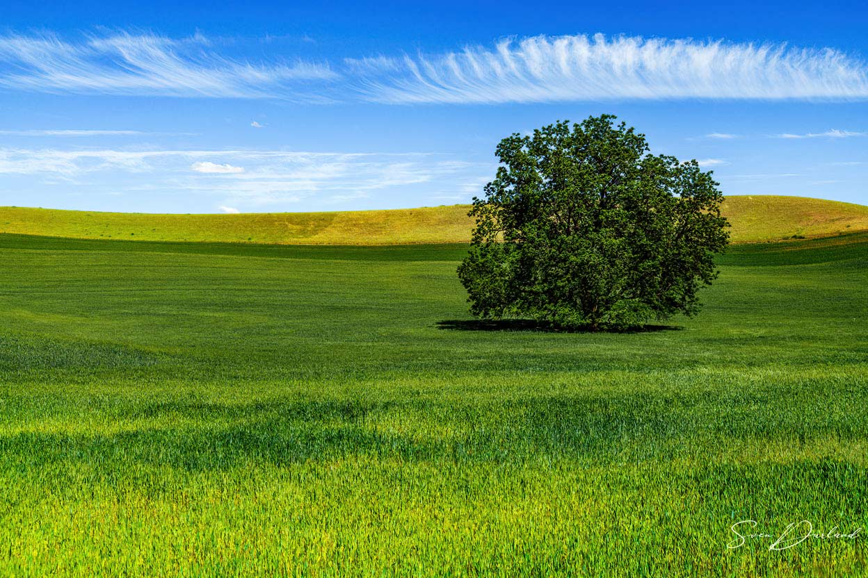
15 -
Lone tree.
 |
 |
|
16 - Twelve-sided Leonard barn. |
17 - Old truck near an abandoned
farm, left as an open air museum.
|

18 - Abandoned farm.

19 - Meandering ditches delineating the different
crops.

20 - Patchwork Fields with crops of wheat and
lentil.

21 - Palouse Falls - The Palouse River runs through a
narrow cataract and drops 200 feet to a churning bowl. (For
scale, note two people very top left).

22 - Strange volcanic rock formations.

23 -
The current moves swiftly from the fall through a winding
gorge to its southern end at the Snake River.

24 - White-tailed Deer
in the lentil field.

25a - Abandoned farm.

25b - Lone barn.

26 - Mules
and horses.
 27
- Farm
house evening view. 27
- Farm
house evening view.

28 - Wheat farm.
Notice Crop Duster (airplane) top, middle.

29 - Thousand Iron Wheel fence in Uniontown.

30 -
Whitman County grain elevator
at sunset. Undulating wheat
fields appear compressed by the telephoto lens.
 31
- Sunset
at Steptoe Butte. Photographers lined up with their gear. 31
- Sunset
at Steptoe Butte. Photographers lined up with their gear.
_____________
Archival fine art prints in sizes up to
24 x 36 inches are available of most
images.
Please email us for questions or comments:
info@DurlandPhotoArt.com
Return to DurlandPhotoArt.com
Copyright Sven Durland
Photography
|